

A bird's-eye view, that changes the perspective.
Drone photography & video — real estate, events, architecture, mapping. UAVO A1/A3 + NTUTM licensed operator.
Premium quality in every detail
DJI Mavic 3 Pro / Air 3
Hasselblad sensor, 4K 120 fps, 12.8 stops dynamic range.
UAVO A1/A3 license
ULC-certified operator. Full compliance with PL/EU regulations.
NTUTM + insurance
Flight check-ins in PANSA UTM, drone operator liability insurance 1M €.
Package with photography
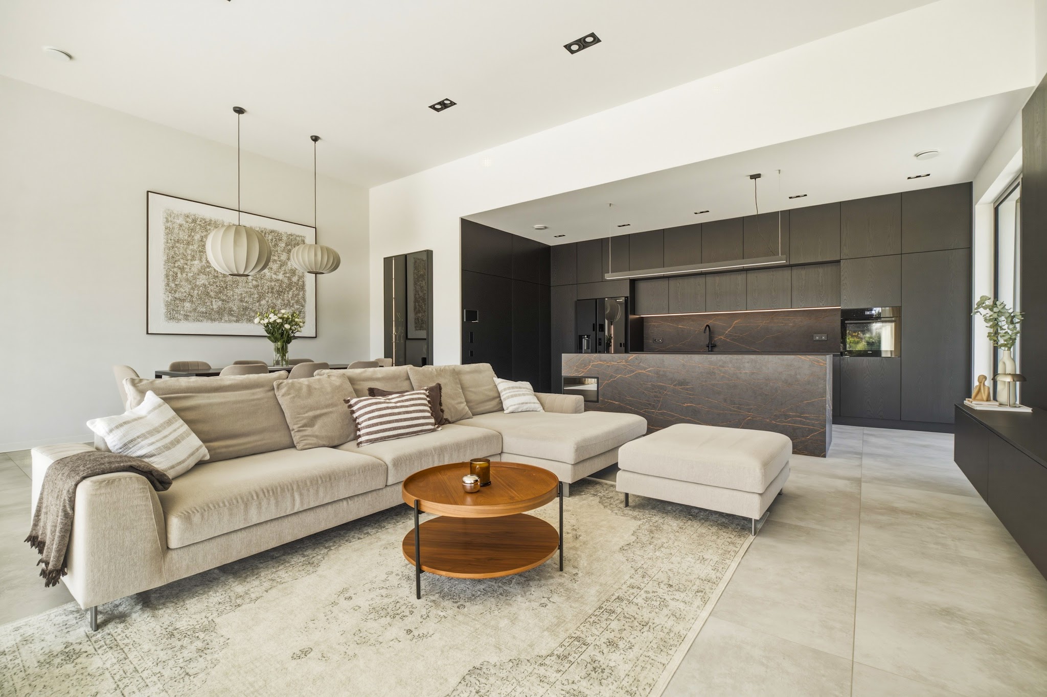
We combine drone shots with interior photography and video — one team, one quote.
Step into the frame — drone panorama
Interactive 360° aerial panorama. Look around and feel the scale and surroundings of the development.
Selected aerial shots
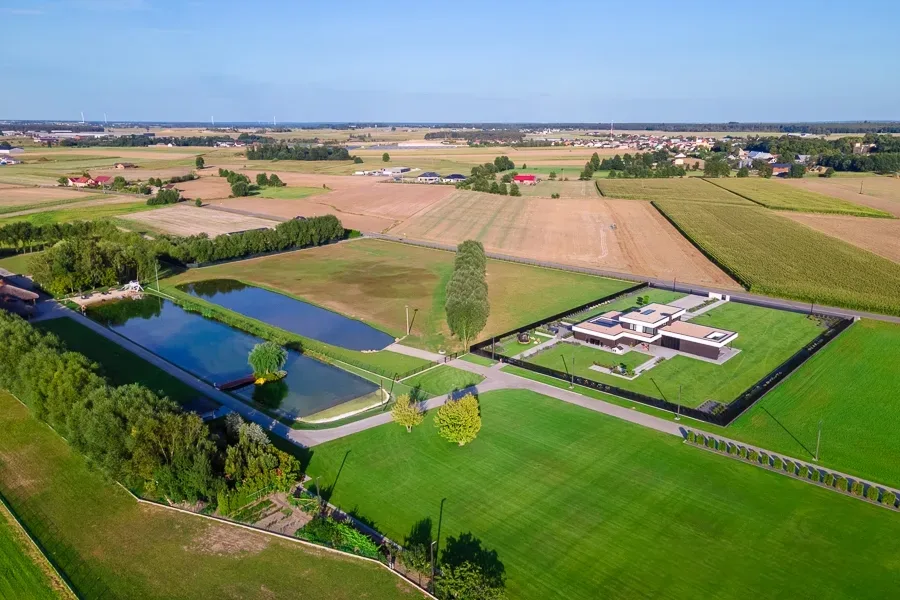
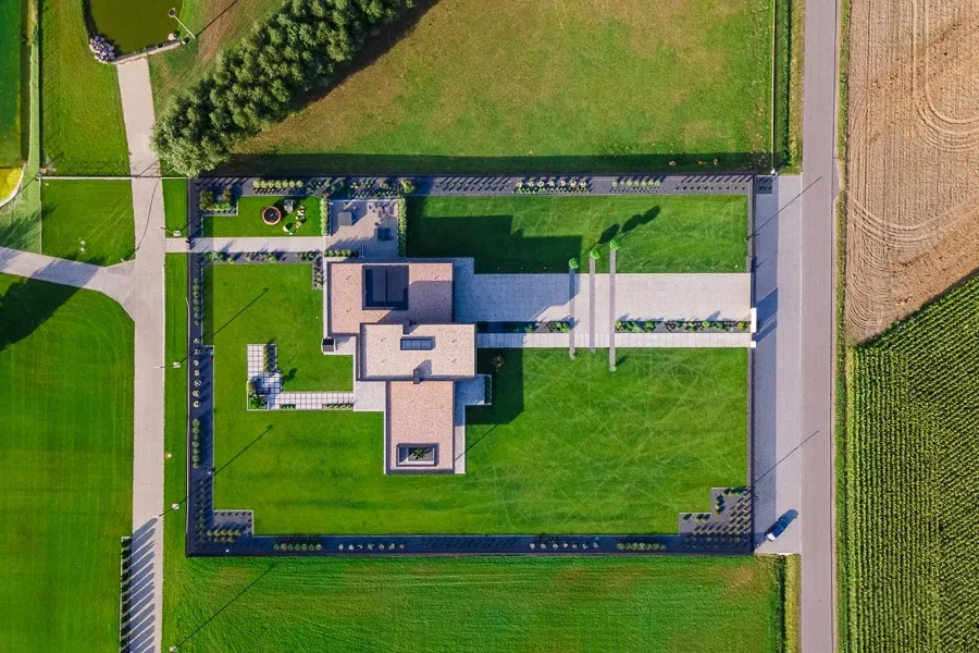
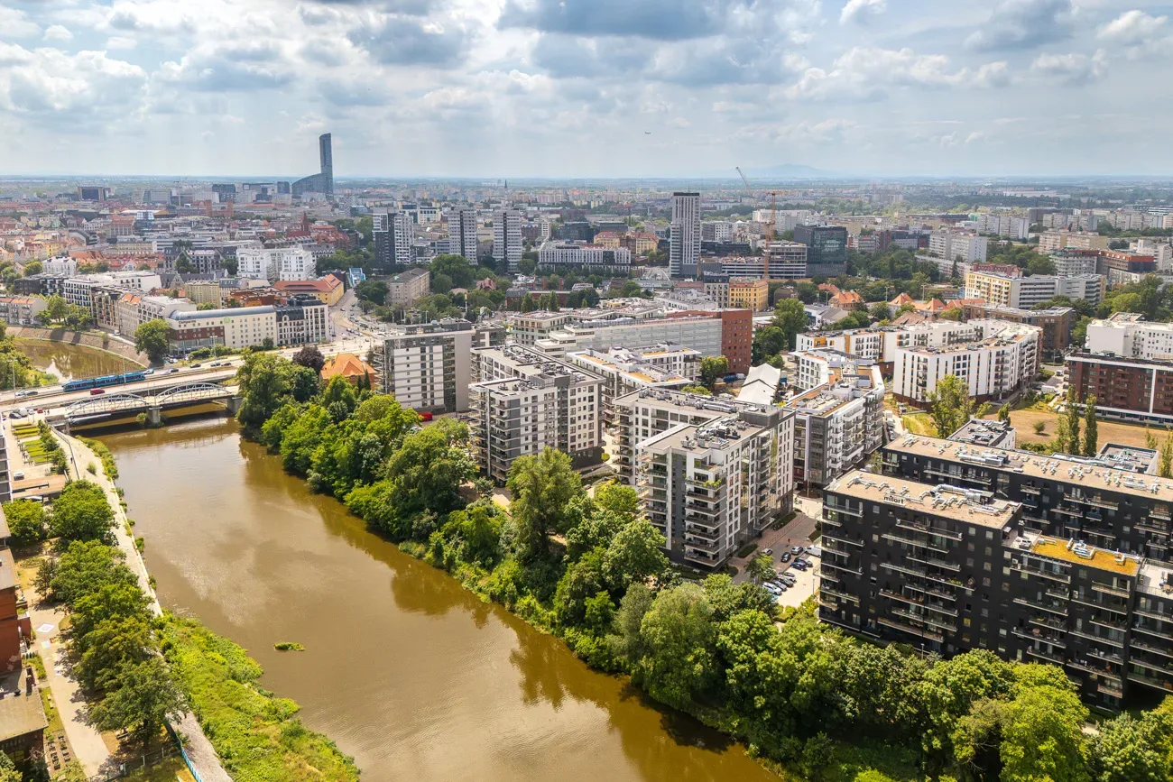
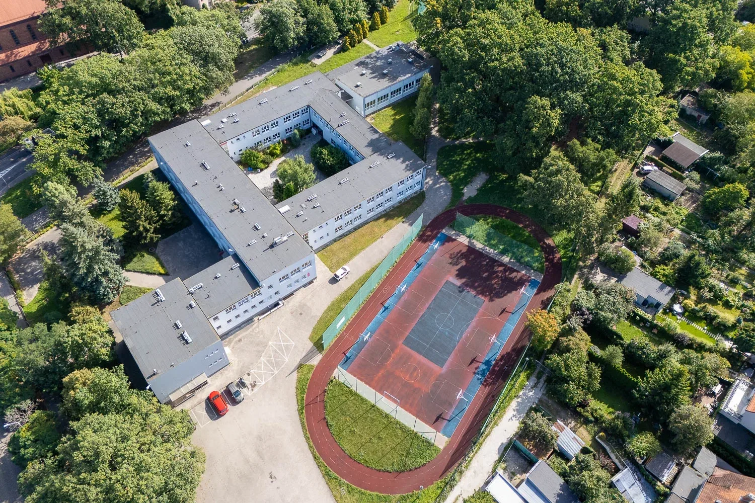
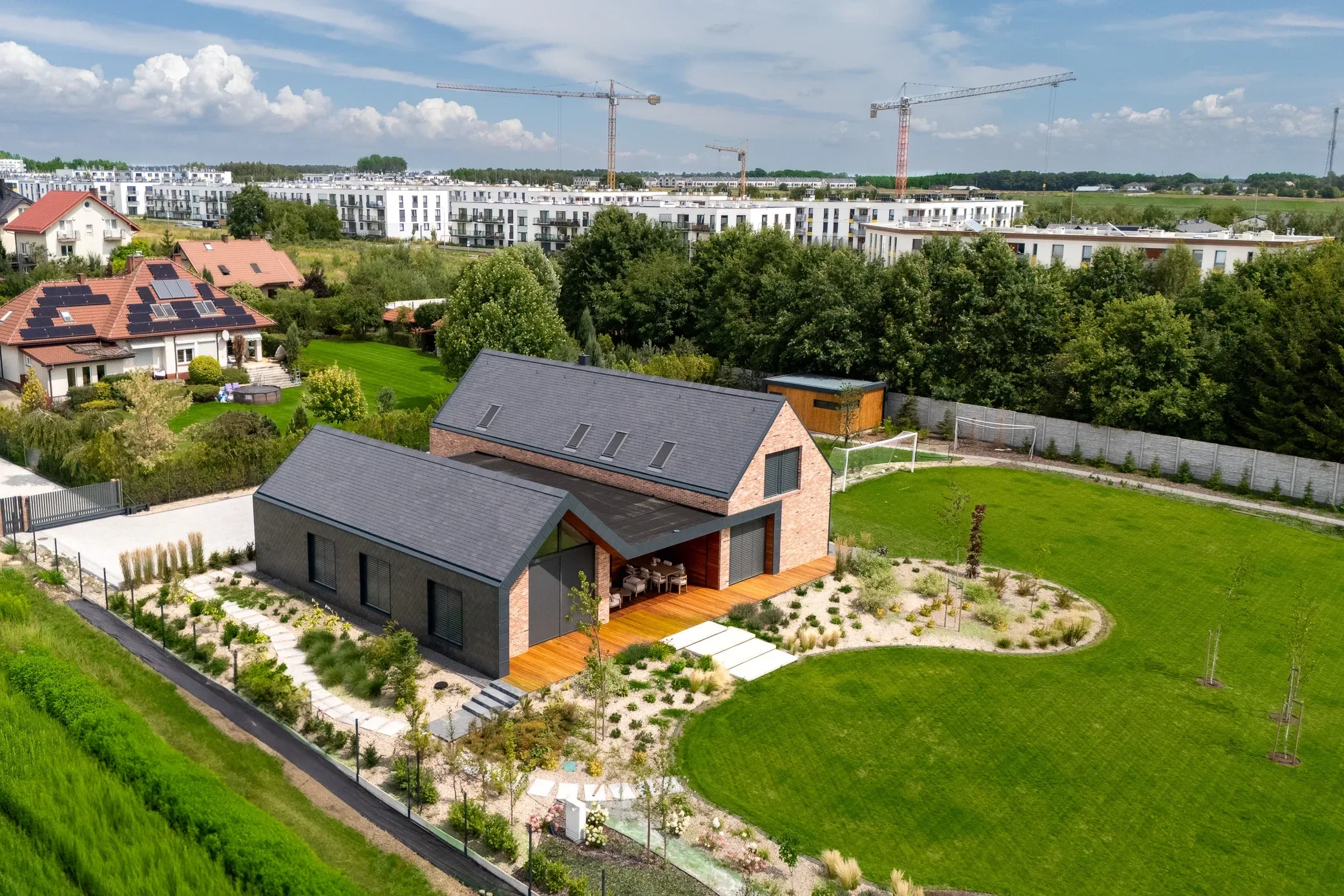
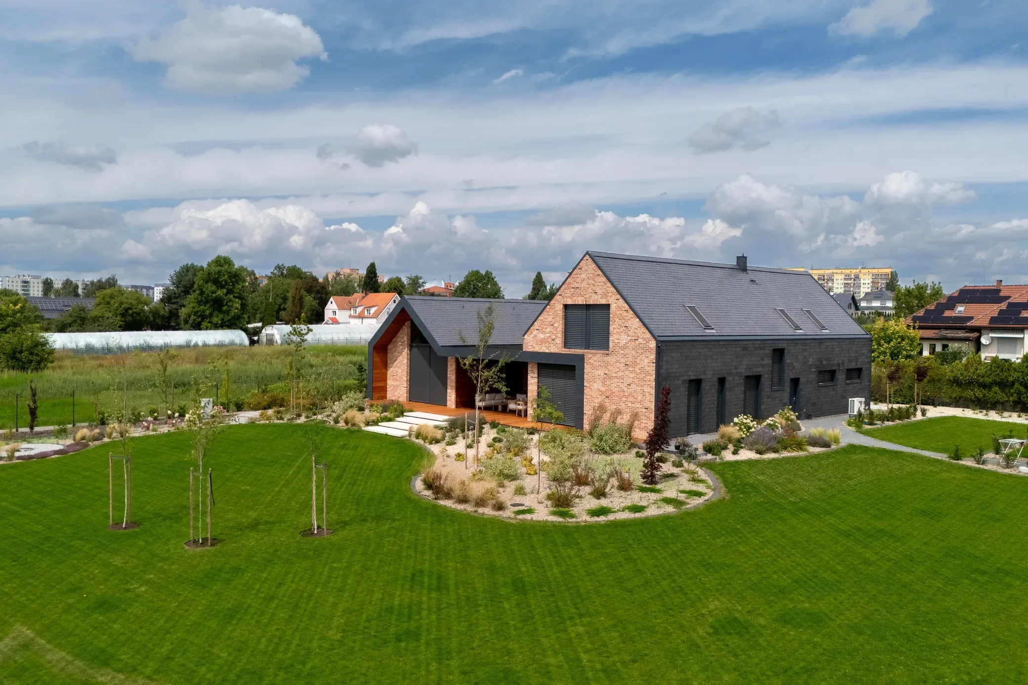
A perspective that impresses
Drone shots show the scale of the investment, plot boundaries, and the entire surroundings — a context that no ground-level photo can capture.
How working with Grafoto works
Zone check
We verify airspace zones, obtain permits (if needed).
Flight
1-2h session depending on the property, several shot options.
Post-production
Color grading, stabilization, optional 3D animations.
Delivery
JPG + RAW + MP4 4K. One-click downloadable gallery.
Frequently Asked Questions
Drone photos (10 edited shots) or aerial footage is PLN 550 net separately, and PLN 300 net when added to a ground session — since no separate travel is required. The price depends on the scope: photos only, video only, or the full package. You can calculate the exact amount in the pricing calculator.
Yes. Flights are conducted by a licensed UAVO operator, in accordance with European and Polish regulations, and with valid third-party liability insurance. Wherever permission to enter controlled airspace is required, I arrange it before the session — leaving no formalities for the client.
In most locations, yes, but there are restrictions — areas near airports, military zones, and some city centers require permission or are designated as no-fly zones. I always check this before the shoot and let you know upfront what cannot be done before we book a date.
No precipitation and wind speeds within safe limits for the equipment are required. I automatically check the forecast before every scheduled date, and if the conditions deteriorate, I suggest rescheduling — it's better to postpone the session than to deliver material with a soft, gray look.
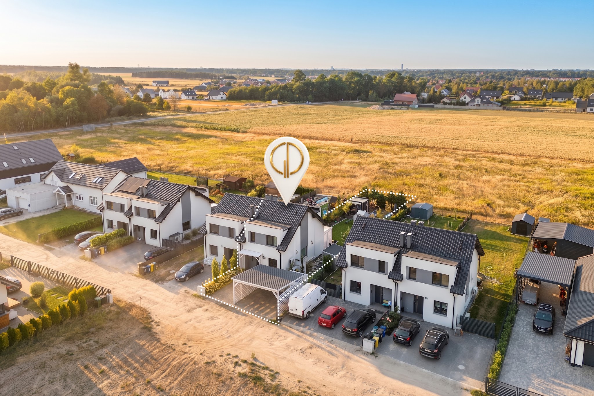
For houses, land plots, and residential developments. From the air, you can see the shape and boundaries of the plot, the neighborhood, access, and the distance to a forest or lake — exactly what buyers ask about first, and what ground-level photos simply cannot show.
Yes, this is one of the most frequently ordered features. I overlay the property boundaries onto the aerial shot, and upon request, I can also add labels: access, utilities, cardinal directions, and distances to key points of interest.
Full-resolution photos, ready for print and web, and 4K video. Everything fully edited — color correction, contrast, and stabilization — just like with ground footage.
Yes. I fly over industrial halls, facilities, hotels, and investment properties, as well as capturing events from the air. For larger areas, a drone shot is often the only way to show the entire site in a single frame.
Ready to start a project?
Contact us or get a quote online — we will reply in 24 hours.